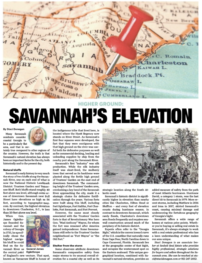
Many Savannah residents consider coastal Georgia to be a particularly flat area, and that is certainly true compared to other regions of the country. However, the truth is that Savannah’s natural elevation has always been an important factor for the city, both historically and to the present day.
Natural bluffs
Savannah’s early history is very much the story of two bluffs along the Savannah River, one on each end of what is now the National Historic Landmark District: Trustees Garden and Yamacraw Bluff. Both bluffs stand roughly 40 feet above sea level, although some areas of downtown Savannah near Bull Street have elevations as high as 86 feet, according to topographic-map. com. By contrast, the highest elevation in downtown Charleston, S.C., is less than 20 feet above sea level.
When Gen. James Oglethorpe founded Savannah and the colony of Georgia in 1733, he specifically chose the highest navigable bluff he could find on the Savannah River as the central point of England’s new venture. That spot, known as Yamacraw Bluff in honor of the indigenous tribe that lived here, is located where the Hyatt Regency now stands on River Street. As Savannah’s first four squares were developed, the fact that they were contiguous with that high ground on the river was useful both for defensive purposes as well as for commercial docking, loading and unloading supplies by ship from the nearby port along the Savannah River.
Savannah’s first “industry” was silk production. While the silk industry itself was short-lived, the mulberry trees that served as its backbone were planted along the fertile high ground of Trustees’ Garden on the east end of downtown Savannah. The commanding height of the Trustees’ Garden area, overlooking a key bend of the Savannah River approaching the city, made it a strategic choice for defensive fortification through the years. Various forts were built along this bluff, including Fort Oglethorpe, Fort Halifax, Fort Charlotte, Fort Savannah, and Fort Prevost.
However, the name most closely associated with the Trustees’ Garden forts is that of Revolutionary War hero Gen. “Mad Anthony” Wayne, for whom the fort was renamed after America gained independence. Some Savannahians still refer to the Trustees’ Garden neighborhood as “Fort Wayne” or “the Old Fort.”
Shelter from the storm
Some observers attribute downtown Savannah’s comparative safety from major storms to its unusual overall elevation for a coastal city as well as its strategic location along the South Atlantic coast.
Savannah’s historic district is significantly higher in elevation than nearby cities like Charleston, Hilton Head or Bluffton – and every foot of elevation counts during hurricane season. In contrast to downtown Savannah, which rarely floods, Charleston’s downtown area floods frequently and requires seawall construction around much of the periphery of its historic district.
Experts often refer to the “Georgia Bight,” which is the convex inward curve of the U.S. coastline that naturally runs from Cape Fear, North Carolina down to Cape Canaveral, Florida. Savannah lies at the geographic center of that bight, and occupies the westernmost spot on the Eastern seaboard. This unique geographical location, combined with Savannah’s natural elevation, provides an added measure of safety from the path of most Atlantic hurricanes. Hurricane David, a category 1 storm, was the last direct hit to Savannah in 1979. More recent storms, including Matthew in 2016 and Irma in 2017, skirted Savannah’s coast, causing minimal damage and underscoring the fortuitous geography of Georgia’s bight.
Savannah offers a wide range of homes at various price points. Whether you’re buying or selling real estate in Savannah, it’s always strategic to work with a real estate professional who has a keen understanding of what makes our area unique.
